Ohakune

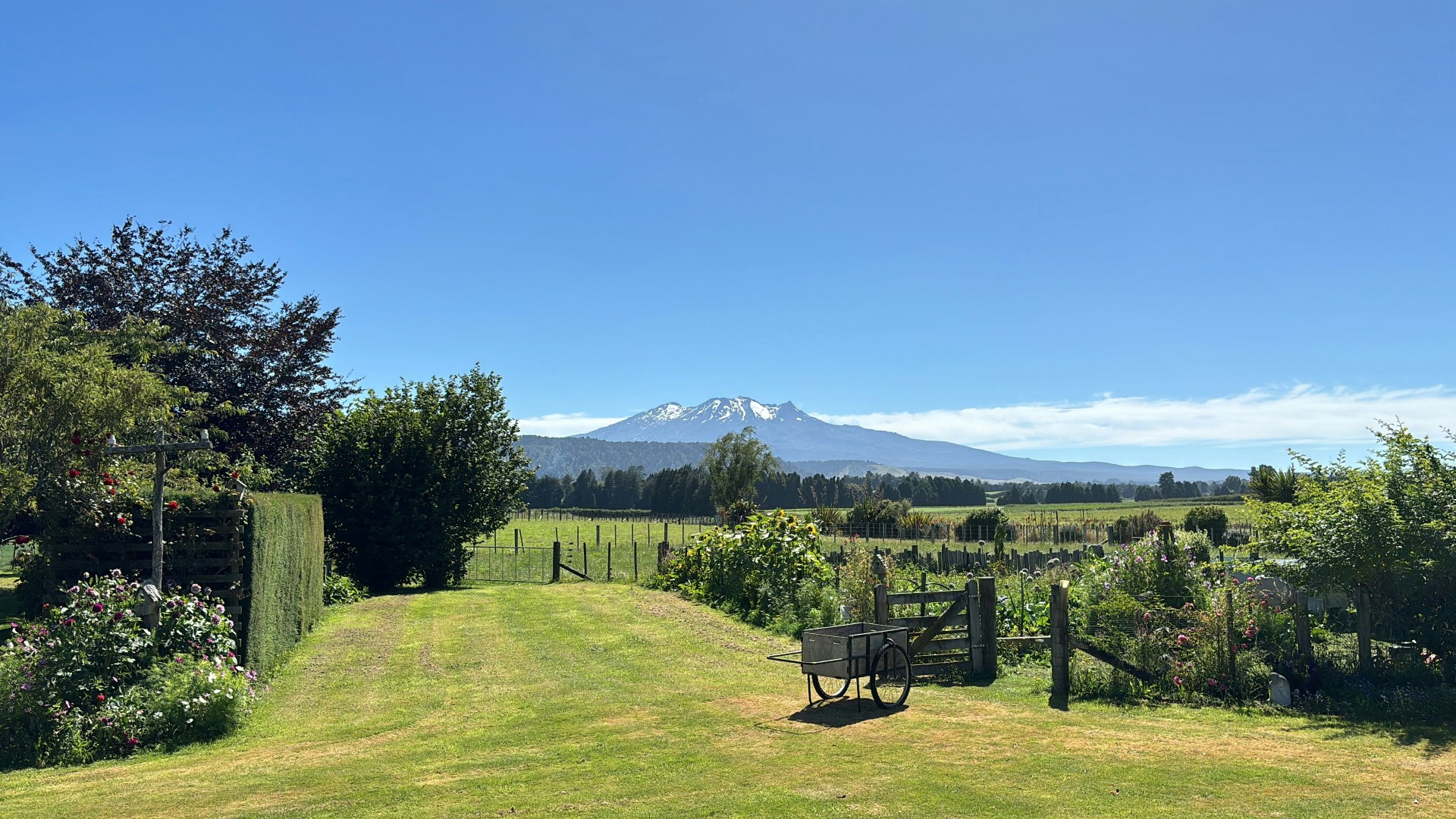

Ōhakune is a small town in New Zealand’s North Island, located at the southern edge of Tongariro National Park. It sits near the base of Mount Ruapehu, one of the country’s most active volcanoes, and serves as a gateway to alpine landscapes. The town is compact, with a mix of outdoor-focused businesses, local homes, and visitor facilities. Its identity is shaped by seasonal change, shifting from a quiet rural setting to a busy hub during the winter months when ski traffic increases.
The town has strong ties to both Māori heritage and its agricultural past. It is known for its connection to Ngāti Rangi, whose traditions are closely linked to the surrounding mountains and land. European settlement introduced farming and railway development, which helped establish Ōhakune as a service center. Community events often reflect this blend of influences, including local markets and festivals that highlight regional produce and shared traditions tied to the land.
Ōhakune’s main attraction is its proximity to Mount Ruapehu, home to the Turoa ski field, which offers access to wide slopes and volcanic terrain. In warmer months, the area supports hiking, mountain biking, and access to trails such as the Old Coach Road, a historic route with viaducts and forest sections. Nearby, Tongariro National Park features notable sites like the Tongariro Alpine Crossing, with crater lakes and lava formations shaped by volcanic activity.
The town is often associated with carrots, reflected in the well-known “Big Carrot” landmark and its history of vegetable farming in the surrounding plains. Local cafés and restaurants serve hearty meals suited to outdoor visitors, along with produce from nearby farms. Seasonal dishes may include lamb, root vegetables, and locally sourced ingredients. Ōhakune’s role as both a farming center and an outdoor base gives it a distinct character shaped by its environment and practical way of life.
